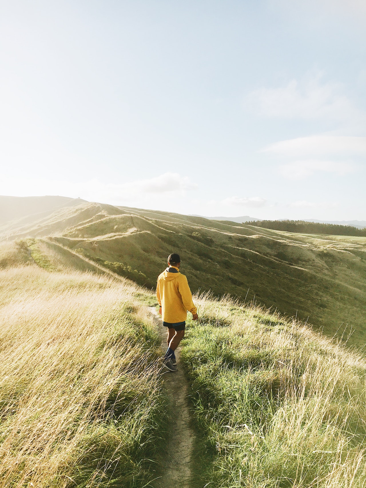
While Philadelphia has plenty of picturesque green spaces like Rittenhouse Square and Fairmount Park, the region’s most breathtaking beauty lies outside the city limits. Fortunately, those in the city and suburbs don’t need to go far to find some of Pennsylvania’s most scenic hiking routes. Fall is perhaps the best time to go, as you can take in some of the most brilliant autumn foliage in the Mid-Atlantic region. Here are a few of the best hiking destinations within driving distance of Philadelphia.
Wissahickon Valley Park
Located in Northwest Philadelphia, Wissahickon Valley Park offers over 50 miles of beautiful hiking trails within the city limits. There are seven major trails, as well as several smaller and less popular trails throughout different areas of the park.
Forbidden Drive
Local hiking enthusiasts agree that Forbidden Drive is one of the best hikes in the state, as it won the 2018 PA Trail of the Year Award. The entire 5.35-mile trail runs along the banks of Wissahickon Creek and is part of the Circuit Trails Network. The trail is open to hikers, bikers, joggers, walkers, and equestrians.
Andorra Meadow Loop
This relatively short 1.7-mile hike is a great option for less experienced hikers, families with small children, or those short on time. The Andorra Meadow Loop is a single-loop dirt and rock trail on the eastern side of the park. The trail stays flat for most of the hike, but there are some occasional portions with switchback climbs. Only hikers and equestrians are permitted on the Andorra Meadow Loop.
Lavender Trail
Don’t let the short length fool you—the 1.5-mile Lavender Trail is a fairly challenging hike. Like the Andorra Meadow Loop, the Lavender Trail is a single-loop natural trail, but on the west side of the park. However, the Lavender Trail’s terrain varies dramatically throughout the short hike, with a handful of steep and challenging technical climbs. Only hikers can use the Lavender Trail.
Orange Trail
At 5.64 miles, the hikers-only Orange Trail is the second longest trail in the park. It’s also one of the most challenging, as the natural terrain is rugged and varies a good bit. Some sections of this hike can be challenging for less experienced hikers.
White Trail
The White Trail runs for 4.39 miles along Wissahickon’s east side. The White Trail and Orange Trail connect, forming a popular loop. This loop also connects to the Forbidden Drive Trail, and these three form another heavily trafficked loop. Inexperienced hikers should also be cautious about the White Trail, as there are some difficult sections.
Yellow Trail
The Yellow Trail runs for 7.89 miles on the west side of the park, making it Wissahickon’s longest trail. With an average grade of 9%, the Yellow Trail is a moderately challenging hike that has some variation, as well as some steeper sections that may be challenging to new hikers.
Valley Forge National Historic Park
Philadelphia’s rich history may be one of the city’s biggest tourism draws. For history buffs who also enjoy a hike, Valley Forge National Historic Park and its many picturesque hiking trails are a must-visit. The park’s 35 miles of dedicated trails showcase both natural beauty and historic scenery. Here’s a look at the trails of Valley Forge National Park:
Joseph Plumb Martin Trail
While the main trail is about five miles, several offshoots make the total length about 8.7 miles. This trail showcases some of the most important historic sites of the park, including the National Memorial Arch and Muhlenberg Brigade Huts.
Mount Misery
Mount Misery has four miles of trails, including the 1.3-mile Valley Creek Trail and the final mile of the 140-mile Horseshoe Trail, which connects Valley Forge National Park with the Appalachian Trail.
Mount Joy
One of the highest points in the park, Mount Joy’s 2.5 miles of hiking and equestrian trails connect to the Joseph Plumb Martin Trail.
River Trail
The River Trail runs for 3 miles along the banks of the Schuylkill River, but is separate from the regional Schuylkill River Trail. The trail runs between a picnic area and Pawling Farm, where the historic Pawling Sycamore tree stands.
Schuylkill River Trail
A little over two miles of the 60-mile Schuylkill River Trail run through Valley Forge National Park.
Mount Tammany-Delaware Water Gap
Let’s not sugarcoat it: the Mount Tammany-Delaware Water Gap hike is short, but it can be challenging. At the end, you’ll likely be sore and exhausted. However, it’s well worth the effort, as the culmination of this strenuous hike is a breathtaking panoramic view of Mt. Minsi and the Delaware Water Gap.
There are two main trails: the Red Dot and the Blue Dot. The Red Dot Trail is on the more challenging end, with steep and rocky terrain. The Blue Dot trail is generally considered much easier. These trails connect to form a popular loop, in which most hikers go up the Red Dot and return on the Blue Dot. This is generally the most recommended route, as falling rocks can make hiking down the Red Dot difficult and dangerous.
Sorry, comments are closed for this post.